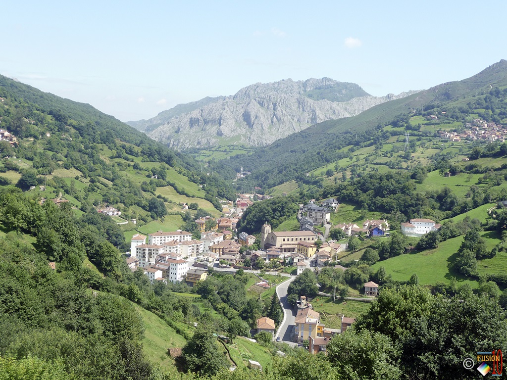
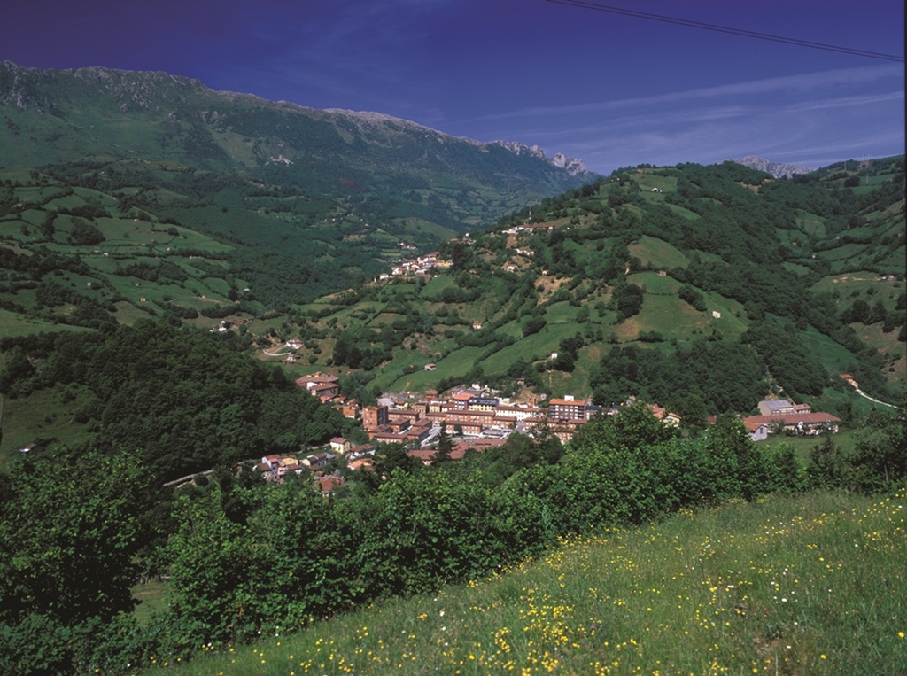
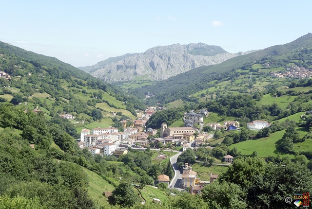
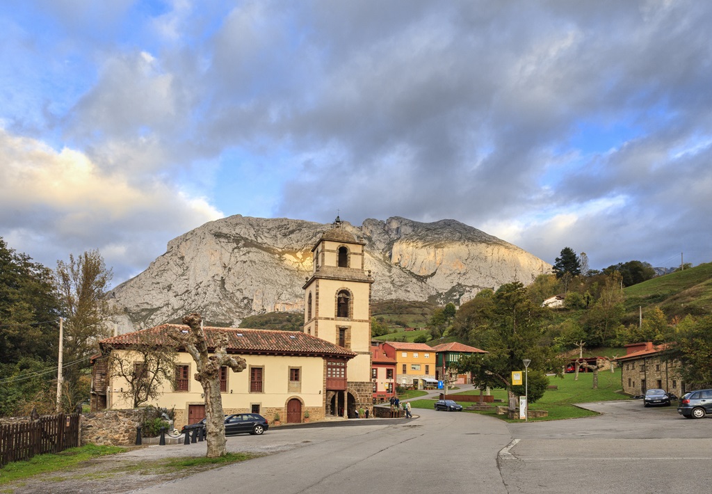
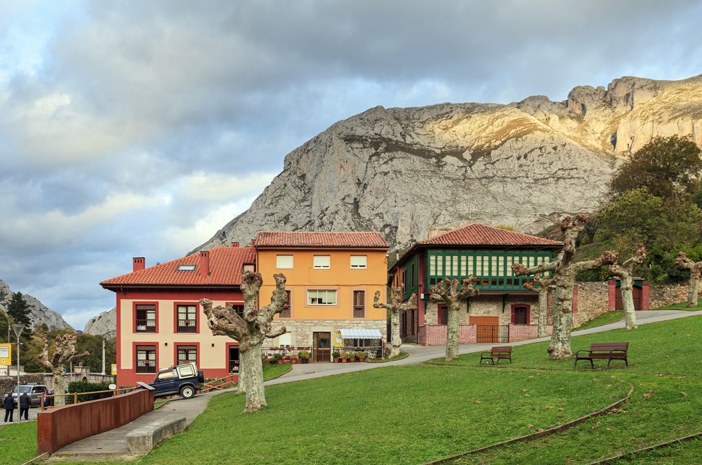
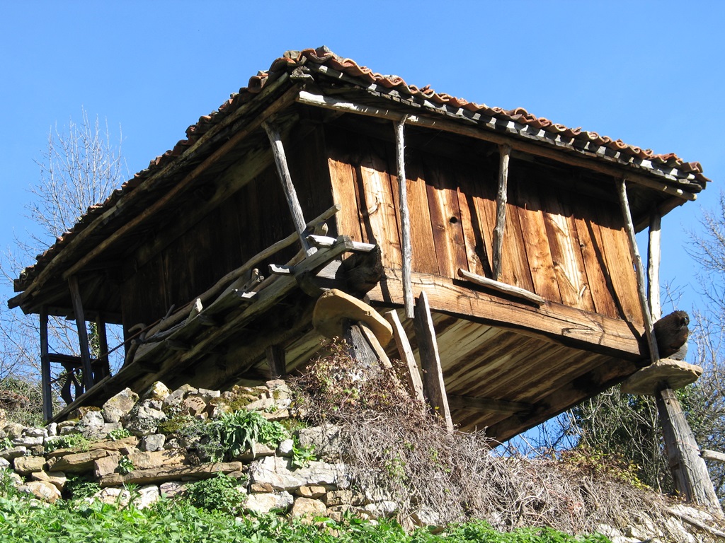
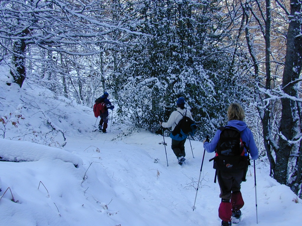
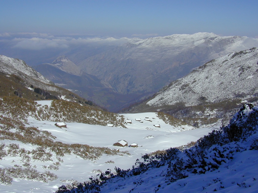
The council of Riosa is part of the Central Mountains. In Riosa you have two types of landscapes, one of impressive natural beauty and the other more industrial in its makeup reminding you of its mining heritage and long industrial history.
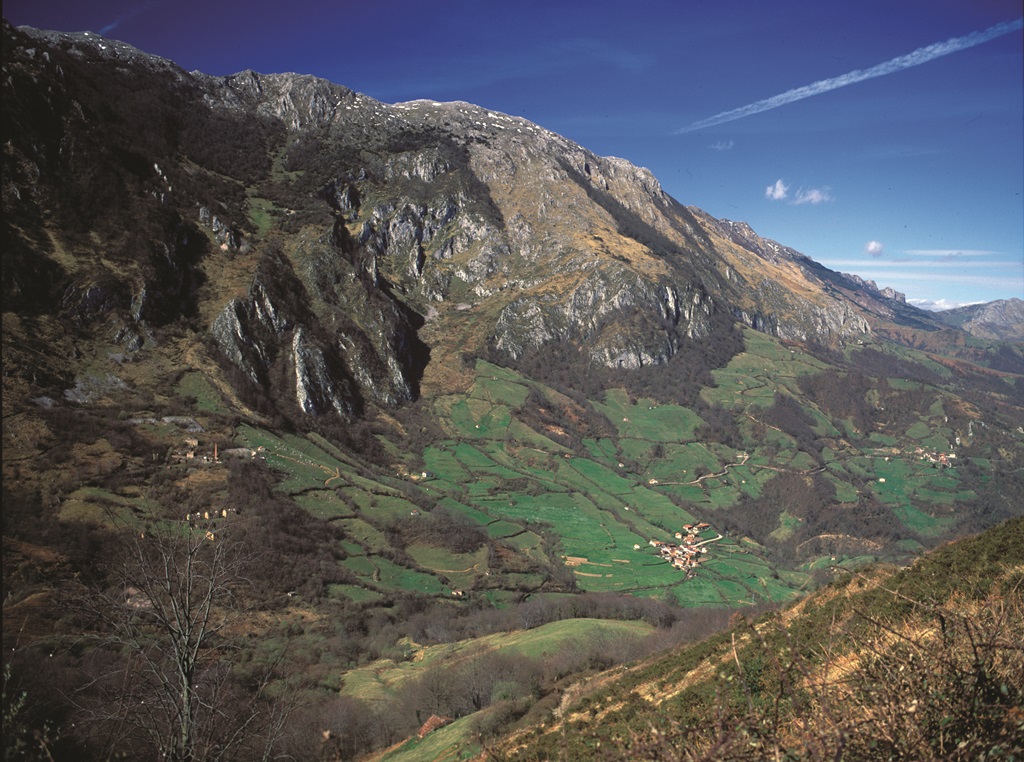
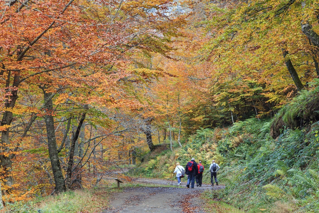
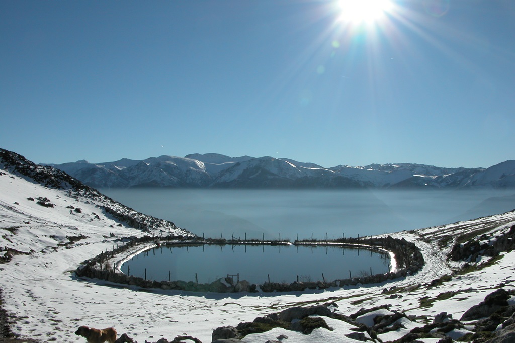
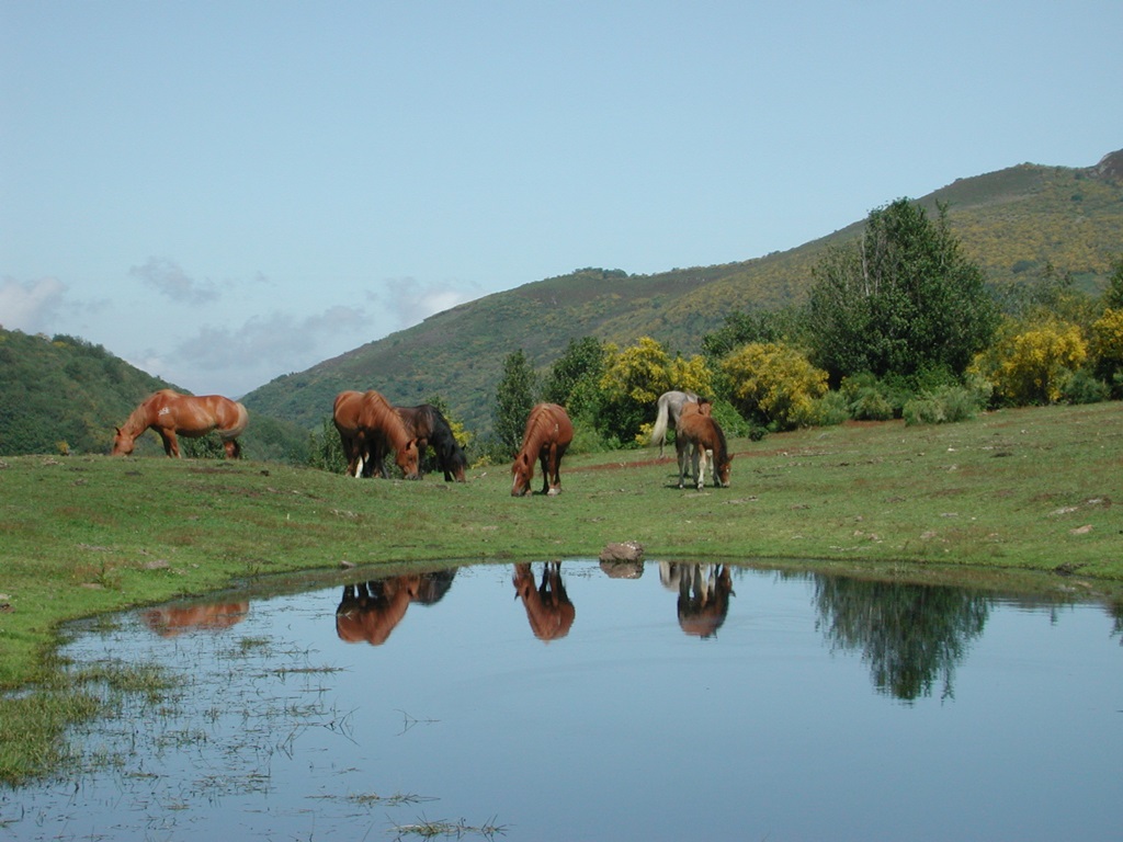
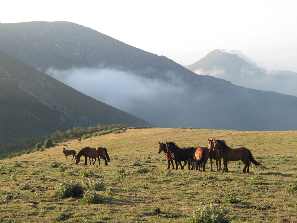
The Central Mountain range offer a wealth of Natural and Protected Spaces, leafy Beech and Oak forests, green mountain pastures, narrow valleys and large meandering rivers.
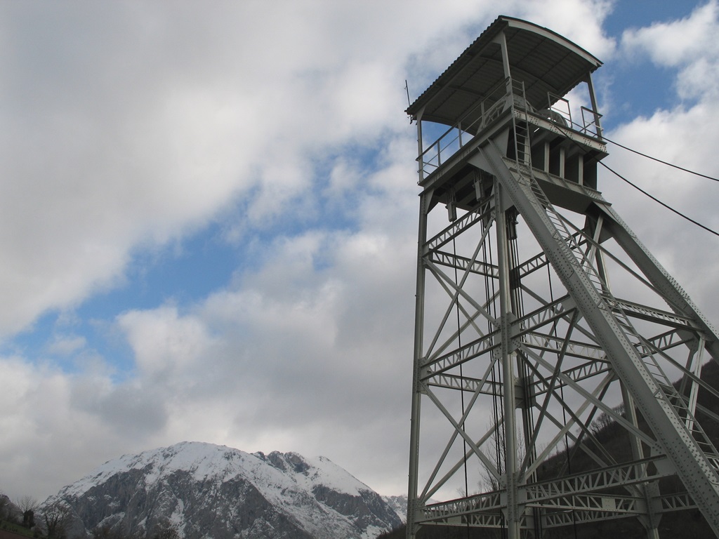
This natural beauty is juxtaposed with examples of past and present mining activites and Slack-heaps, mine entrances, Headframes, worker’s housing, etc dot the landscape. This is a real cornucopia for those who have an interest in industrial architecture and landscapes. Mining has moulded Asturias and plays a significant part in her story so it is worth while learning about this history as it will help to understand the local community a bit more.
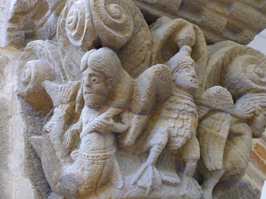
Riosa is home to a wealth of stone monuments, megalithic structures, necropolis and old settlements.
The Route of the Silver cross the territory of Riosa. The Route of the Silver is Roman in origin and crosses the peninsula from north to south starting in Gijón, Asturias, and finishing in Seville, Andalucía. This was built to facilitate commerce and legion movement. After that, the route was mainly used by shepherds who took their livestock to the greener pastures of Asturias during the summer.
The area of Riosa is part of the protected mountain landscapes of the Coal-Mining Area at the Aramo Mountain Range where you can find the Mostayal Peak. In Viapara, Riosa you will find one of the main entrances to the peak.
Riosa has a very rich old legacy where ancient settlers exploited the underground riches in the mine of Rioseco which constitute an exceptionally valuable archaeological site due to their early date and are among the oldest in Western Europe. Other exceptional examples of this are the Castro or Settlement of Pico Castiello in El Collado and the necropolis of Corujedo in Corujedo. There are 30 other archaeological sites included in the Archaeological Chart of the County of Riosa designed by the Archaeologist Gema Adán in 1995.
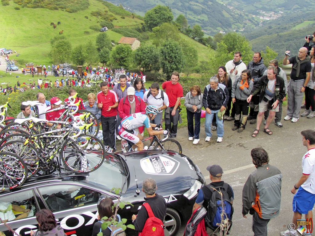
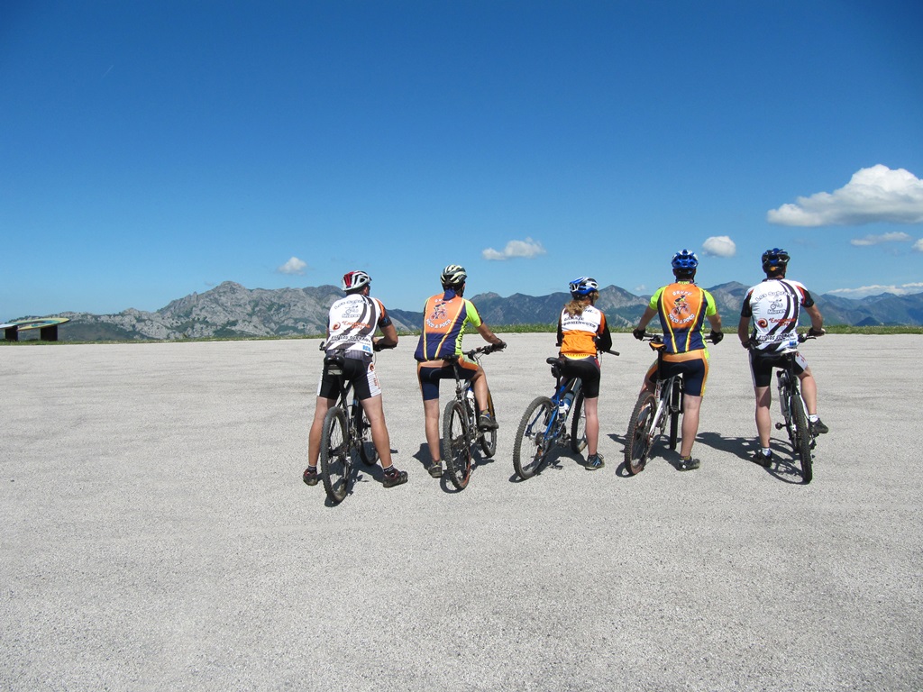
Riosa is also very well known for amongst Cycling circles and especially for “Ascent to the Angliru”. For those passionate about cycling the Angliru Climb is an exciting challenge. The extreme gradient of the climb which is over 23% has made it a stage of the classic Tour of Spain and assent has gained international fame due to its difficulty.
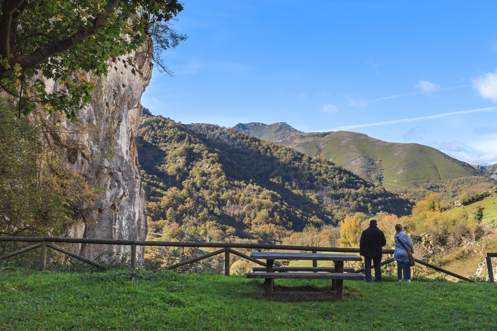
If you don’t fancy donning the spandex shorts and pushing yourself to the limit then you can also access it by car and enjoy the amazing natural beauty at the top of this Peak. You can get there via the road of Grandiella which passes the recreational area of Viapará. Here one can enjoy a great picnic area with exceptional views of the Aramo mountain range, the winding road leading to the Angliru and the Monsacro. After one hour’s walk from the summit of Angliru you will reach the Gamonal Peak (1,712metres). This is a splendid vantage point with views of the Asturian coastline, the Picos de Europa and the Cantabrian Mountain range.
Another very beautiful route in the area is the Water Route. Apart from walking, cycling and climbing you can also practice fishing or spelunking,
The other main attraction in Riosa is the local gastronomy offering an Asturian traditional fare or Stews, Asturian reared beef, fish from the rivers, cheeses and Asturian desserts.
More info: Office Tourism Riosa
If you want more information contact Where is Asturias at info@whereisasturias.com
Images supplied by Ayto de Riosa, Consorcio Montana Central and Turismo Asturias: Arnaud Spani and Camilo Alonso.

